Return to Main Page
|
Next Page >>
July 9th walked through Prague suburbs
Having seen enough of the city center, I had an idea to explore the suburbs by riding to the end of
subway line "A" (Skalka) then walking about 3 miles to the end of line "C" (Haje). Fortunately a
magazine vendor at the Skalka stop was selling a city map.
Coming from underground it was difficult to get oriented, so I just started walking until I found a
street-sign. From the map I could see I needed to cross a freeway and train-tracks. I found a dirt
path under the freeway, then a path along the train tracks. But on the map where I had hoped to
cross to a main street, there was a massive Midas Tire factory! So I was stuck stumbling down the
train-tracks through a switching yard, being careful to avoid anything that might suddenly move and
smash my foot. I half expected to be greeted by police.
Finally at the end of the tire factory I was able to walk down a trail through a parking lot to the
main street. The remainder of the walk was along main streets.
I was curious about a lake I saw on
the map, so I detoured in that direction. The road to the lake was lined with modern apartments and
nice cars. The small lake was surrounded by pine trees and had a fresh-cut grass beach, volleyball,
rental row boats, and a snack bar. At the snack bar I pointed to a beer and bag of peanuts, and a
lady gave them to me. I think the guy in the snack bar said something about tourists, and the lady
"shushed" him. The music then changed from English (Simon and Garfunkel's "Sound of Silence"
at the time) to Czech folk music. Walking away I stumbled on a green tennis ball, and a German
Shepard ran up and retrieved it. I sat on the grass, soaked up the sun and enjoyed my snacks. It was
a very nice place, and must have been similar 10 years ago under communism. I then walked back
up to the subway stop and rode into town with the locals, as the sun was setting.
|
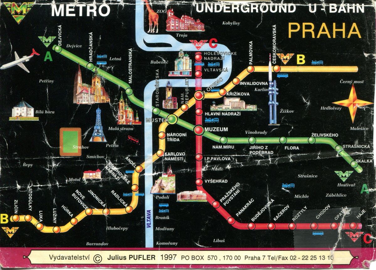
When I got on the subway this was all I knew - that stop "A" seems not
too far from stop "C"
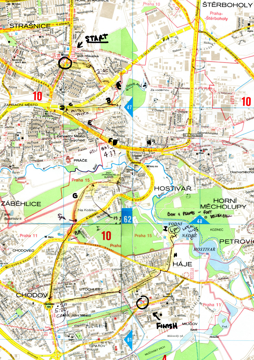
Amazingly when I got of the subway there was a vendor selling street maps. I
probably could not have found my way without it.
I marked with the time on the
map as I progressed and wrote a letter when I took a photo.
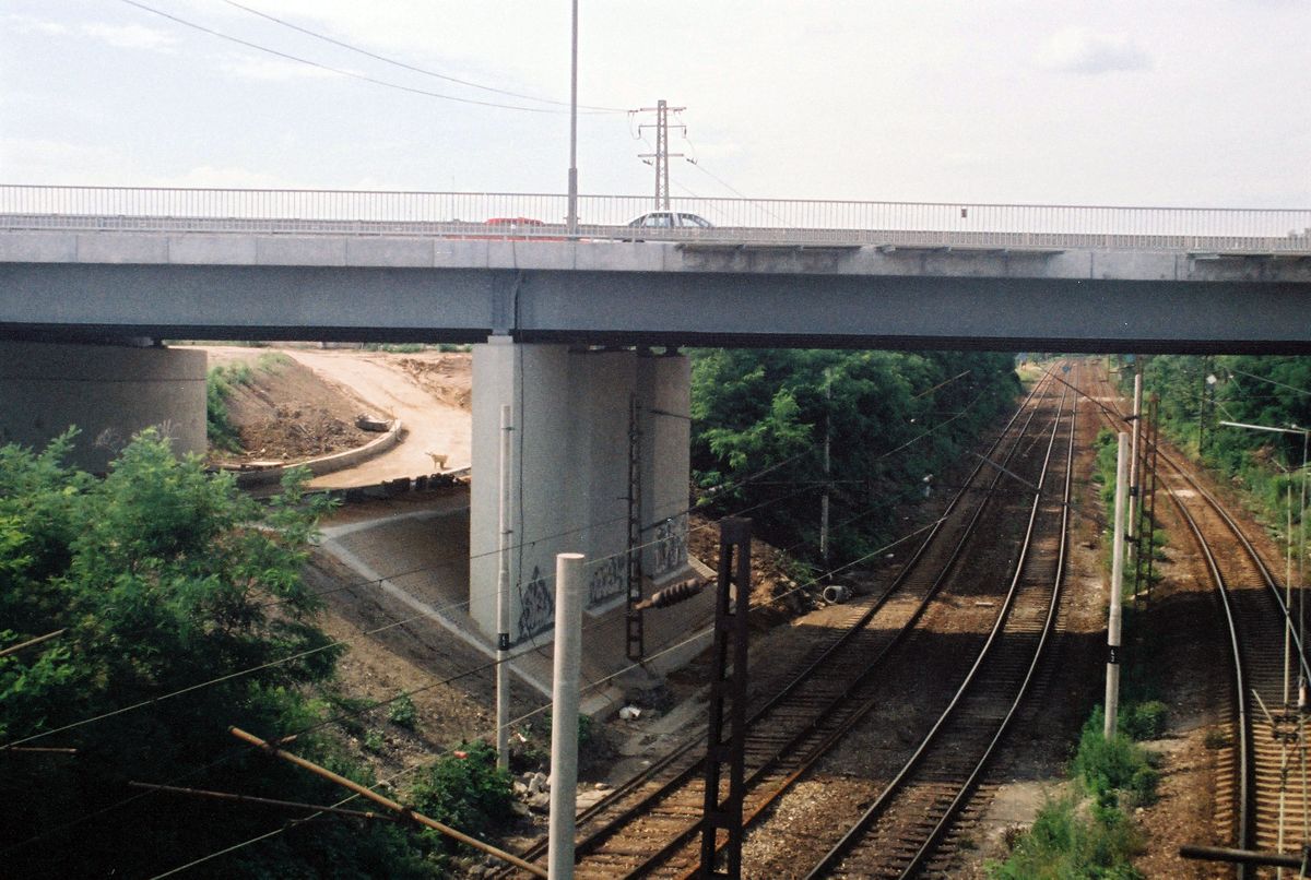
Photo "A" - I don't see how to cross the tracks by walking on a road, so I walk
down the tracks
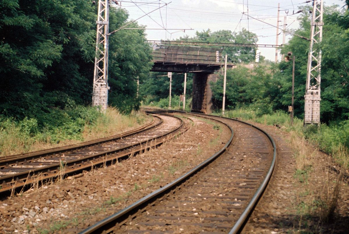
"B" looking back from where I had just walked
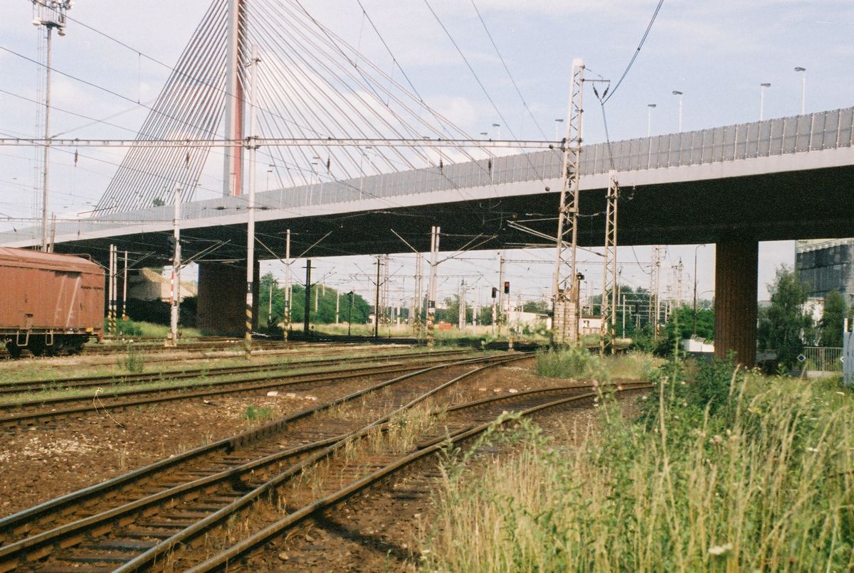
"C" Looking the direction I'm headed, I'm about to cross all of these tracks
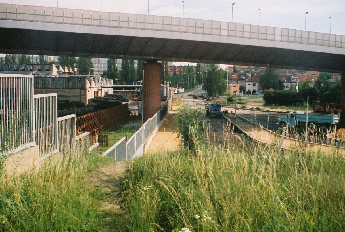
"D" Finally I reach a way out of the tracks, will go south down this trail then
turn left at that intersection to proceed south down the main street
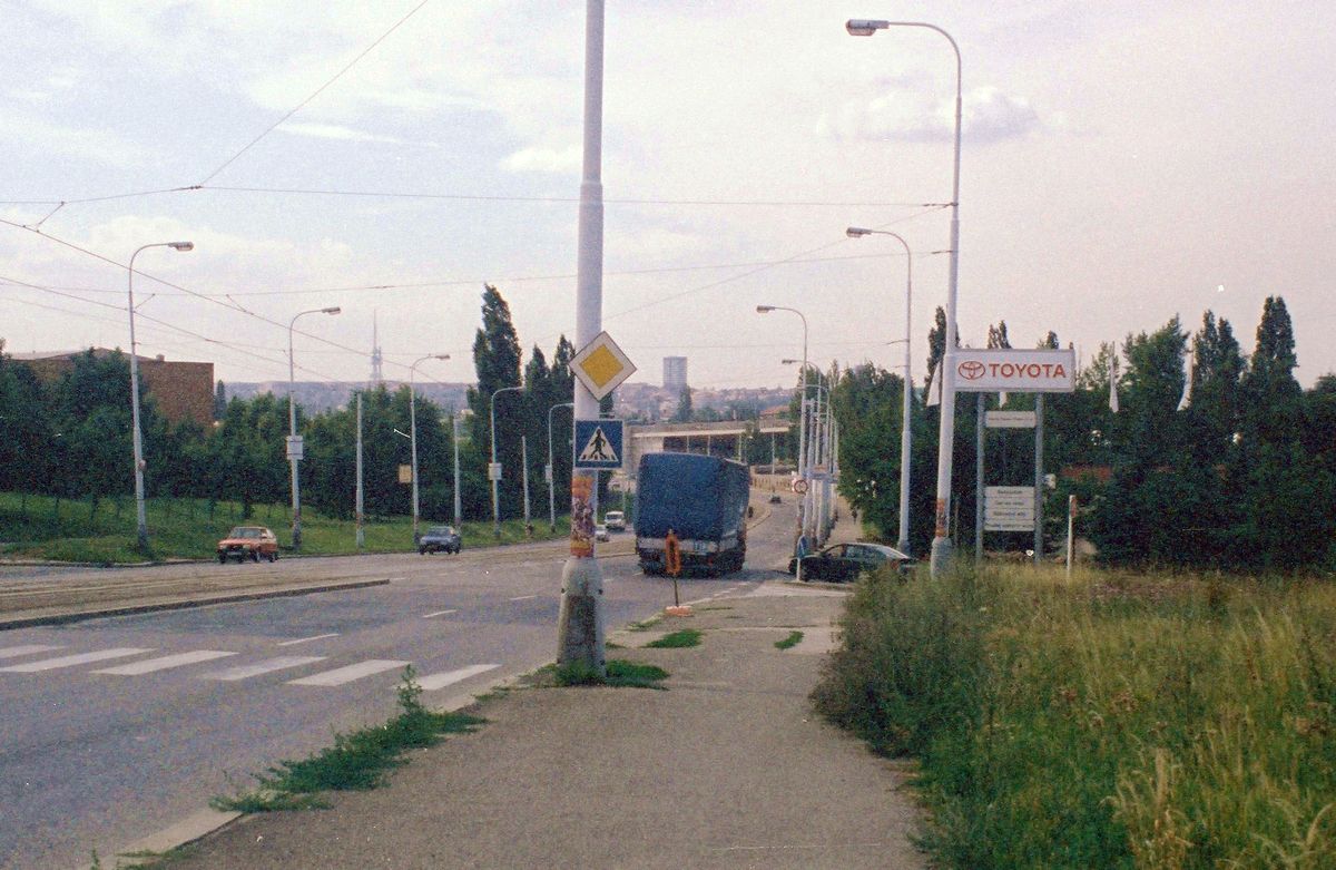
"E" looking back where I had come since getting on this road back near that
overpass
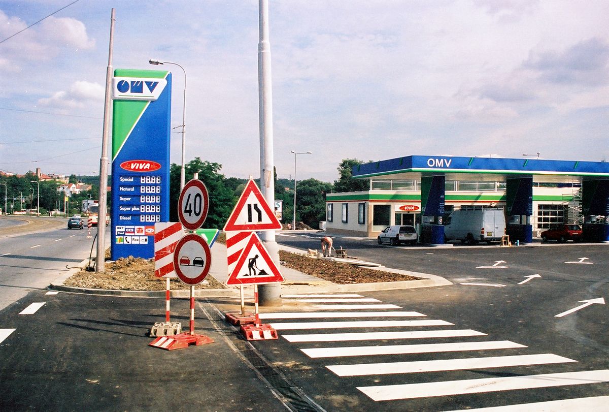
"F" I had crossed the street, photo looking south of new gas station under
construction
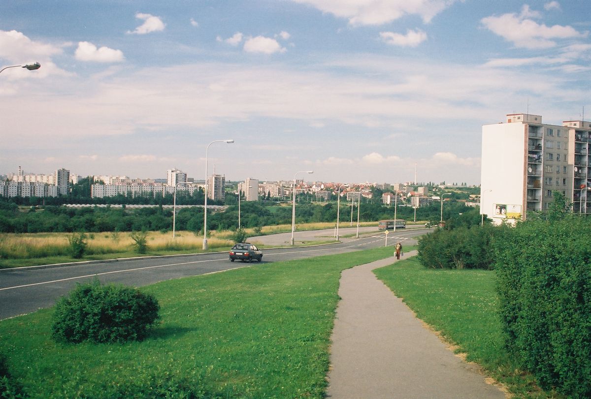
"G" looking back North where I had walked
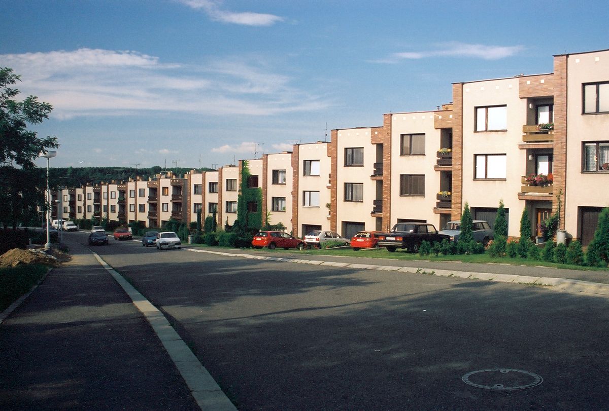
"H" past some nice apartments as I approach the Lake
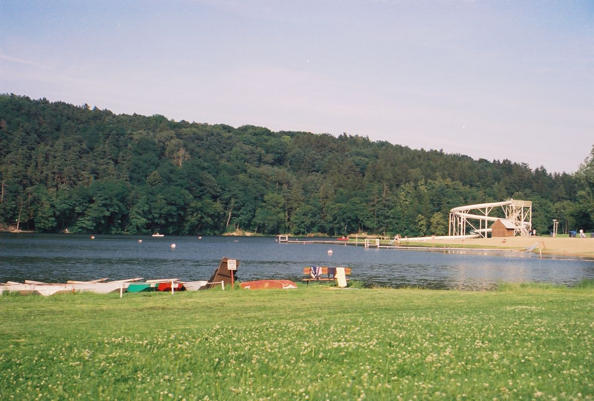
"I" Finally I relax with beer and peanuts at the lake - even though I feel
unwelcome by the locals.


